

- Radio data link with AES-256 encryption
- Encrypted SD card
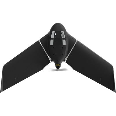
- Low visible signature at 300 m / 984 ft AGL
- Integrable with situation awareness tools such as CivTAK
- Designed and assembled in Switzerland
Efficiently map up to 500 ha / 1,235 ac while flying at 120 m / 400 ft.
With a flight time of 90 minutes and a flight range of 55 km / 34 mi, eBee TAC Public Safety can cover large and inaccessible areas.
Thanks to its lightweight, eBee TAC Public Safety, can be safely operated under many regulatory frameworks. Moreover, it has the best ratio energy/MTOW compared to heavier VTOL drones, offering better energy efficiency.
eBee TAC Public Safety is compatible with a wide range of interchangeable photogrammetry cameras that capture reliable aerial imagery – from 3D models to orthomosaics – to suit every mapping job.
With the RTK / PPK optional software, the public safety drone achieves an absolute accuracy down to 1.5 cm / 0.6 in, without ground control points (GCPs).
We have anticipated upcoming drone regulatory frameworks in the U.S. and Europe by having the eBee TAC Public Safety ready with Remote ID identification system approved by the FAA.
- 500 ha / 1,235 ac in a single flight
- 90 minutes flight time
- 1.6 kg / 3.5 lbs
- 1.5 cm / 0.6 in mapping accuracy